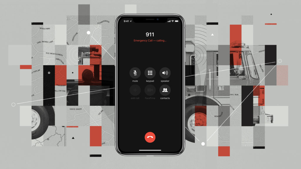
What is Hybridized Emergency Location (HELO)?

Apple uses a technology it calls Hybridized Emergency Location (HELO) to figure out where you are located when you make an emergency call on your iPhone – it helps save lives.
When did it launch?
Apple says it launched HELO (Hybridized Emergency Location) in 2015.
What does it do?
HELO (not to be confused with an SMTP component of the same name) estimates a mobile 911 caller’s location using cell towers and on-device data sources like GPS and WiFi Access Points. Apple also uses barometric data gathered by iOS devices to figure out location.
How does Wi-Fi data help?
Like most location services, HELO uses databases of known Wi-Fi BSS IDs to figure this out. Every Wi-Fi access point has its own ID, known as the BSS ID. These unique IDs can be used to determine an approximate location of devices using that node of the network. Much of the available Wi-Fi BSS data has been collected over the years by Skyhook.
Who made HELO?
It seems Apple developed the technology in an attempt to make location data gathered by iPhones available to wireless carriers under the HELO program. This was in response to growing pressure on the part of government and regulators to make such data available.
Who uses HELO?
Both AT&T and T-Mobile already use HELO. There may be others who also do so, but I’ve found no record of this at time of writing.
What else does Apple use for emergency services data?
In Europe, Apple uses a similar tech called Advanced Mobile Location (AML). Apple in iOS 12 will make HELO even more accurate with Internet Protocol-based data pipelinetech from RapidSOS.
Does HELO work if Location Services are disabled on my device?
It looks as if HELO, AML and/or RapidSOS may work even if you have Location Services switched off. Apple’s privacy policy states: “For safety purposes, your iPhone’s location information may be used when you place an emergency call to aid response efforts regardless of whether you enable Location Services.”
Why does location matter?
A report published by MarketsandMarkets says the location analytics market size is will grow from $8.2 billion in 2016 to $16.3 billion by 2021, at a CAGR of approximately 17.6%.
The data is useful far beyond emergency services – we all use it for mapping and local resource identification, but it’s also useful for:
- Measuring foot traffic in store or on streets
- Customer analysis and marketing competition
- Location-based personalized marketing
- Tracking the success of ad campaigns.
What impact might this have on emergency services?
Estimates vary, but in the U.S. over 650,000 emergency calls are made every day.
Over 80 percent of these calls come from mobile devices, and with iPhone holding over 40 percent share this means approximately a quarter million emergency calls made every day are made from iOS phones.
That being the case, enabling emergency services to access accurate location data means those callers will likely get help up to seven minutes faster than they do without it, and this could potentially save a good chunk of 10,000 lives each year.
How many lives?
Francesca Dominica, Director Harvard Data Science Initiativeestimates that accurate location data may help emergency services save 10,000 lives more each year in the U.S.
More information:
I’m short of additional information. If any readers can provide additional information on HELO (or related topics) I’d be pleased to update this story.


“Over 80 percent of these calls come from mobile devices, and with iPhone holding over 40 percent share this means approximately a quarter million emergency calls made every day are made from iOS phones.”
This presumes iPhone users have the same level of emergency calls as those “nasty” 🙄
Android users! 😄